章节正文
Oceania (Reference Map) 2009 (739K) [pdf format]
Pacific Ocean (Small Map) 2012 (14K)
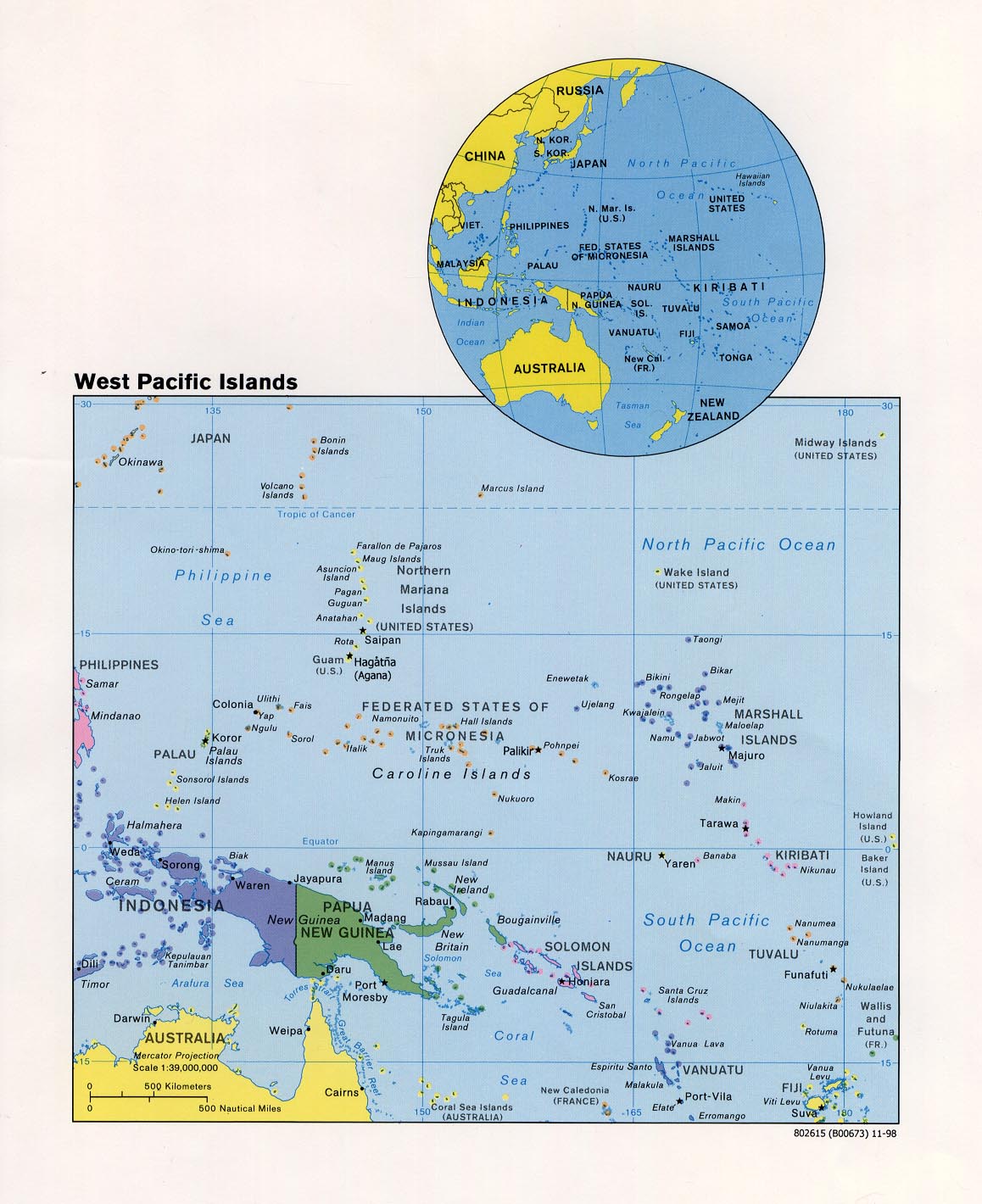
West Pacific Islands (Political) 1998 (323K)
Australia and the Pacific Historical Maps
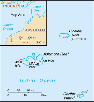
Ashmore and Cartier Islands (Australia) (Small Map) 2011 (8K)
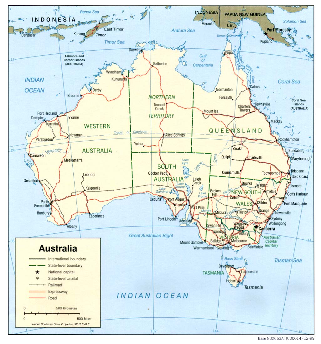
Australia (Political) 1999 (195K) and pdf format (207K)
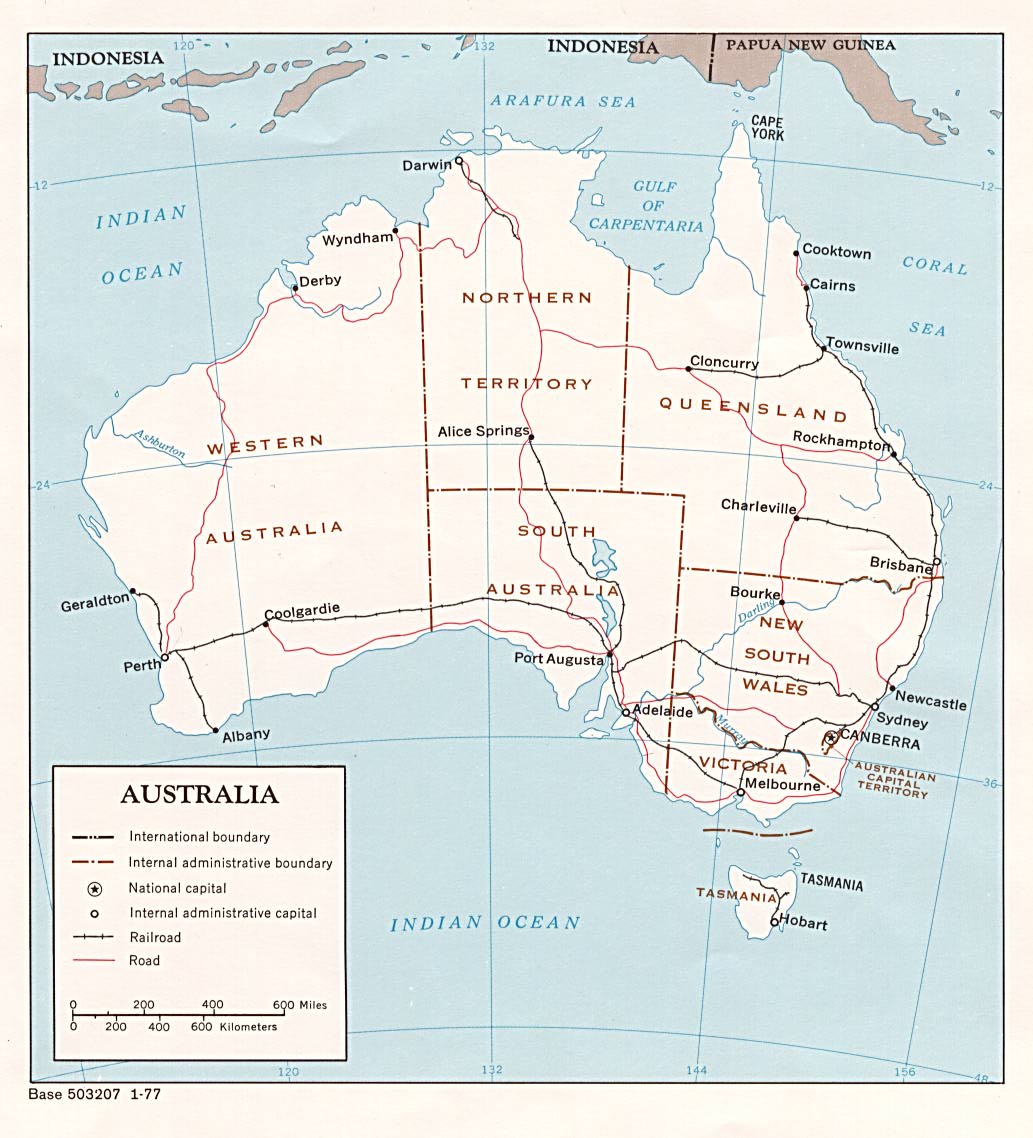
Australia (Political) 1977 (156K) and pdf format (159K)
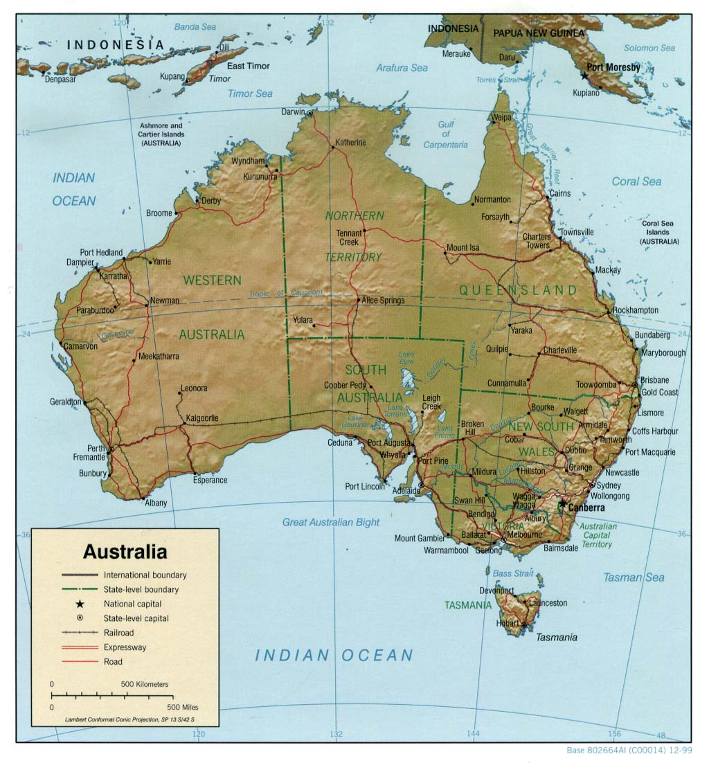
Australia (Shaded Relief) 1999 (188K) and pdf format (214K)
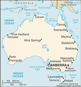
Australia (Small Map) 2011 (14K)
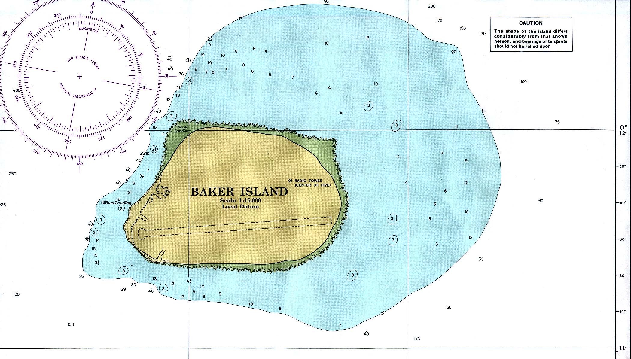
Baker Island (U.S.) (Nautical chart) original scale 1:15,000 N.O.A.A. 1978, revised 1986 (581K) Not for navigational use
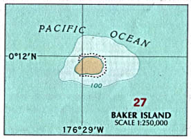
Baker Island (U.S.) (Political) U.S. National Atlas 1970 (34K)
Christmas Island [Indian Ocean] (Australia) 1976 (129K)
Christmas Island [Indian Ocean] (Australia) (Small Map) 2011 (5K)
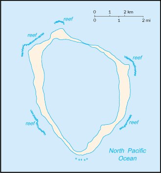
Christmas [Kiritimati] Island [Pacific Ocean] (Kiribati). (Nautical chart) original scale 1:250,000 D.M.A. 1977 (159K) Not for navigational use
Clipperton Island (France) (Small Map) 2011 (5K)
Cocos (Keeling) Islands [Indian Ocean] (Australia) 1976 (142K)
Cocos (Keeling) Islands [Indian Ocean] (Australia) (Small Map) 2011 (6K)
Commonwealth of the Northern Mariana Islands
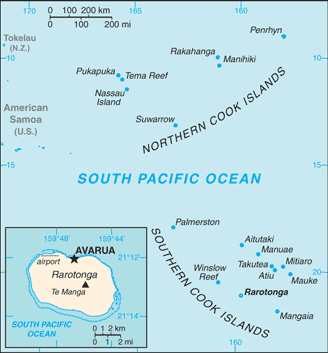
Cook Islands (Small Map) 2011 (6K)
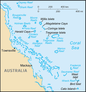
Coral Sea Islands (Australia) (Small Map) 2011 (13K)
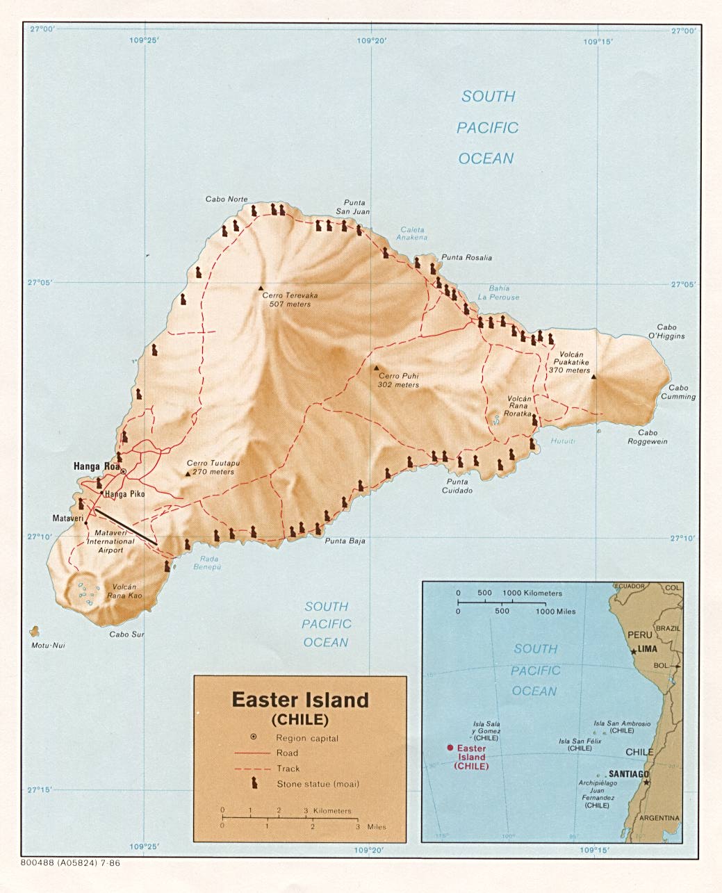
Easter Island (Shaded Relief) 1986 (156K)
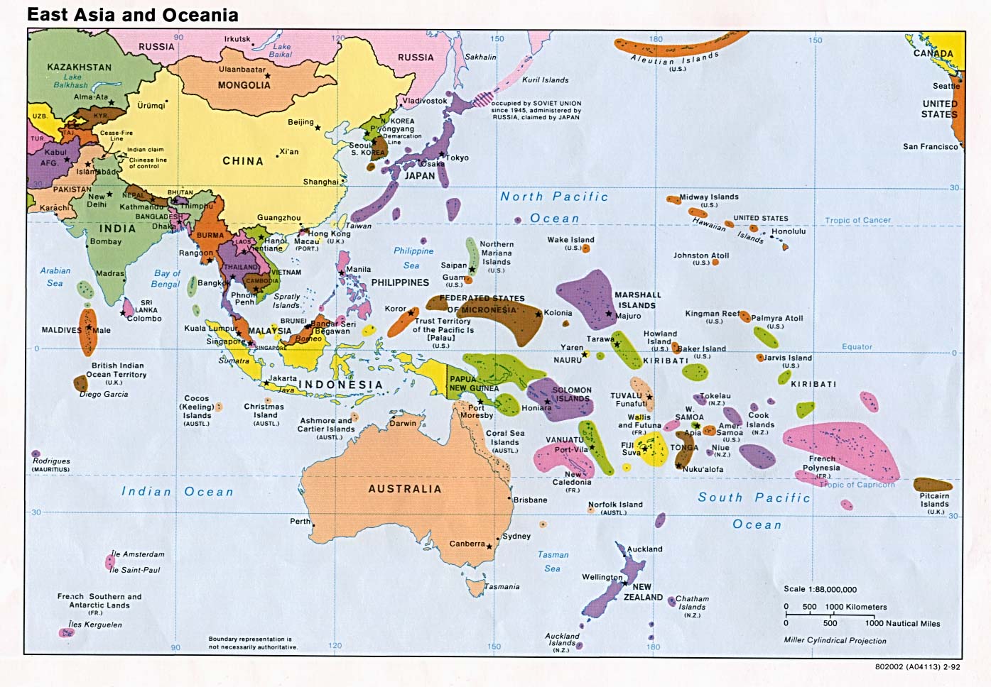
East Asia and Oceania (Political) 1992 (225K)
Federated States of Micronesia Maps
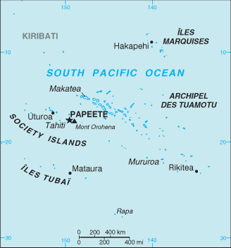
French Polynesia (Political) 1989 (190K) and pdf format (193K)
French Polynesia (Small Map) 2011 (7K)
- pacific [pə´sifik]
 a.和平的;温和的 (高中英语单词)
 - historical [his´tɔrikəl] a.历史(上)的 (高中英语单词)
- commonwealth [´kɔmənwelθ] n.国家;共和国;联邦 (高中英语单词)
- easter [´i:stə] n.(耶稣)复活节 (高中英语单词)
- hawaii [hɑ:´waii:] n.夏威夷(州) (英语六级单词)
文章标签:下载
章节正文

 京公网安备 11011202003401号

![Christmas Island [Indian Ocean] (Australia)](http://www.lib.utexas.edu/maps/islands_oceans_poles/christmas_island_76.jpg)
![Christmas Island [Indian Ocean] (Australia)](http://www.lib.utexas.edu/maps/cia11/christmas_island_sm_2011.gif)
![Christmas [Kiritimati] Island [Pacific Ocean] (Kiribati).](http://www.lib.utexas.edu/maps/australia/kiritimati_island_77.jpg)
![Cocos (Keeling) Islands [Indian Ocean] (Australia)](http://www.lib.utexas.edu/maps/islands_oceans_poles/cocos%28keeling%29_76.jpg)
![Cocos (Keeling) Islands [Indian Ocean] (Australia)](http://www.lib.utexas.edu/maps/cia11/cocos_sm_2011.gif)